Scientific team
This research programme is related to the Theme 4 of the Terrae team " Methodological tools ".
One of the lines of research of this research team is based on technical and [methodological development in archaeology].(http://terrae.univ-tlse2.fr/accueil-terrae/navigation/programmes-de-recherche/theme-4-outils-methodologiques-417346.kjsp?RH=1322144350037). This involves opening up to other disciplines such as mathematics (with the research programmes [Modelespace/Architerre], (http://modelespace.univ-tlse2.fr/) and Graphcomp led by Florent Hautefeuille) or through the use of new technologies, and in particular drones, for the detection of archaeological sites (scientifical programm : [Archéodrone], https://blogs.univ-tlse2.fr/archeodrone/) led by Florent Hautefeuille and REPERAGE led by Nicolas Poirier).
The researchers and engineers involved in this research theme are also part of several scientific networks including :
-
the Scientific Interest Grouping (GIS)" [Micro-UAVs] (https://websites.isae-supaero.fr/gis-micro-drones/) » led by Jean-Marc Mochetta of ISAE](https://www.isae-supaero.fr/fr/) (Superior Institute of Aeronautics and Space). It's a multidisciplinary thematic network aimed at promoting and federating public research actors active in the field of micro-UAVs,
-
The consortium « 3D-SHS » of TGIR (very large research infrastructure) Huma-Num. This is a thematic network which aims to bring together all the laboratories involved in the optimisation and integration of 3D in the fields of Human and Social Sciences,
-
The network of plateforms SPATIO the MSH network (Maison des Sciences de l'Homme) which federates the different platforms oriented towards the acquisition of spatial data in Human and Social Sciences and labelled MSH.
-
The CNRS Professional Network "Drones and on-board instrumentation".
The Terrae team also develops Open Source tools for the acquisition of information in archaeology. This is notably the case for the application Archeotracker. It allows the recording and geolocation of artefacts taken during archaeological prospecting. This application is based on "OSMTracker" developed by N. Guillaumin. It was redeveloped by Emile Hautefeuille, based on an idea by Florent Hautefeuille. It was tested on several UMR 5608 TRACES sites and in particular within the framework of land acquisitions for the REPERAGE programme, led by Nicolas Poirier.
The scientific team of the TAHMM programme is composed of :
|
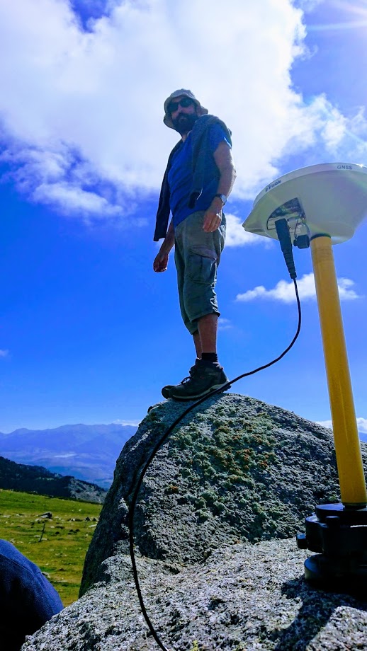
Baleux François Engineer CNRS - TRACES laboratory (UMR 5608) Specialist in 3D, Geomatics, Remote Sensing and Topography. In particular, he works on improving the accuracy of archaeological surveys and on characterising the positioning error of spatial data. |
|
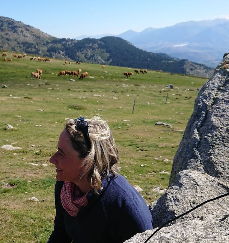
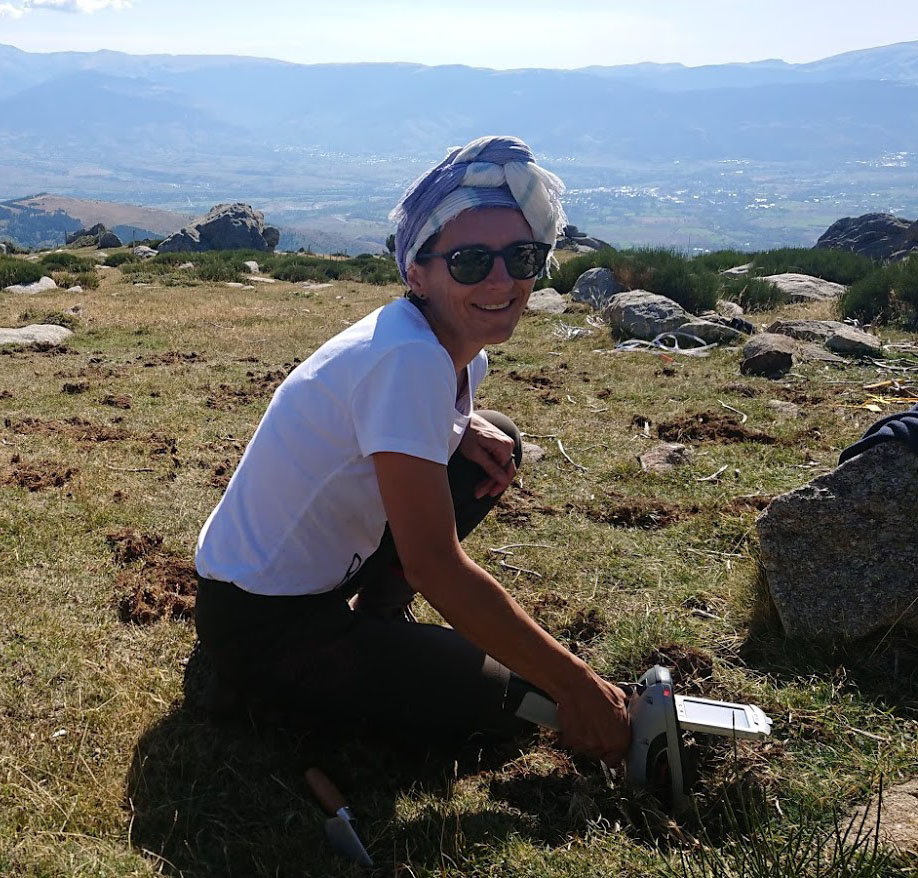
Calastrenc Carine Engineer CNRS attached to Laboratoires TRACES (UMR 5608) / FRAMESPA (UMR 5136) and member of the Terrae team Archaeologist, specialised in agro-pastoral areas and in the detection of archaeological remains with non-invasive methods. Scientific manager of the TAHMM. programme |
|
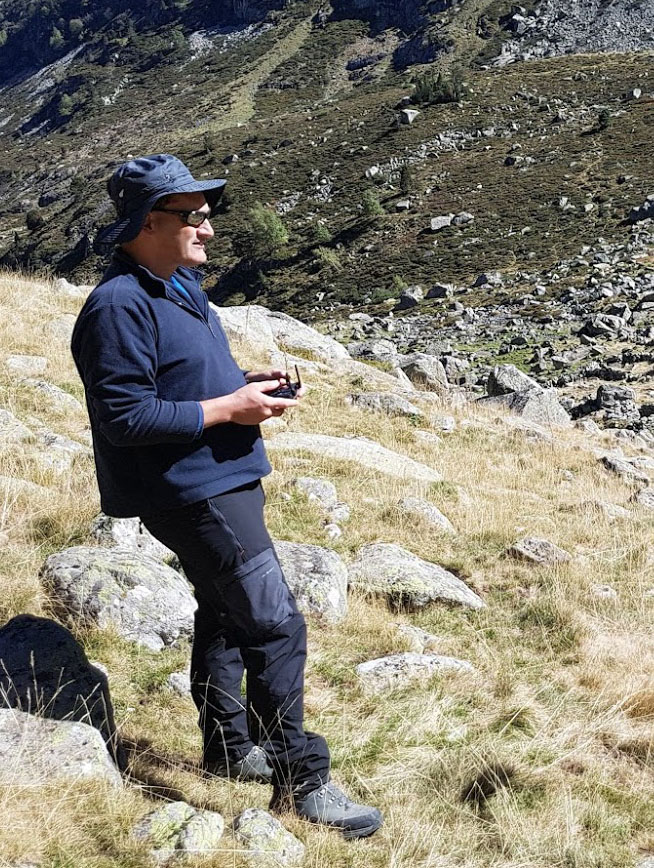
Hautefeuille Florent Professor in archaeology and medieval history |
|
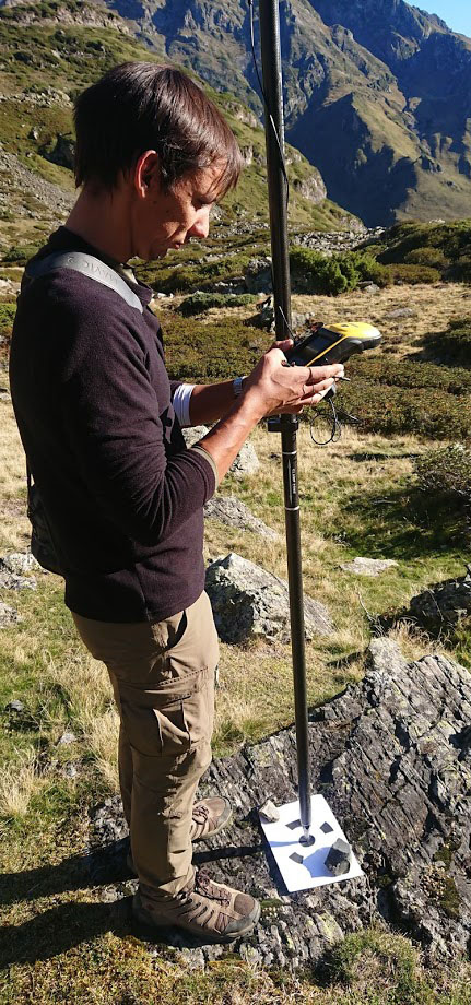
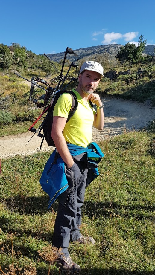
Laurent Antoine Archaeologist, geomatician, topographer and 3D specialist in archaeology. |
|
Philippes Magali CNRS Assistant Engineer, GEODE Laboratory (UMR 5602)
|
|
Poirier Nicolas Researcher CNRS - TRACES Laboratory (UMR 5608) and member of the Terrae team |
|
Rendu Christine Researcher CNRS - FAMESPA Laboratory (UMR 5136) |
|
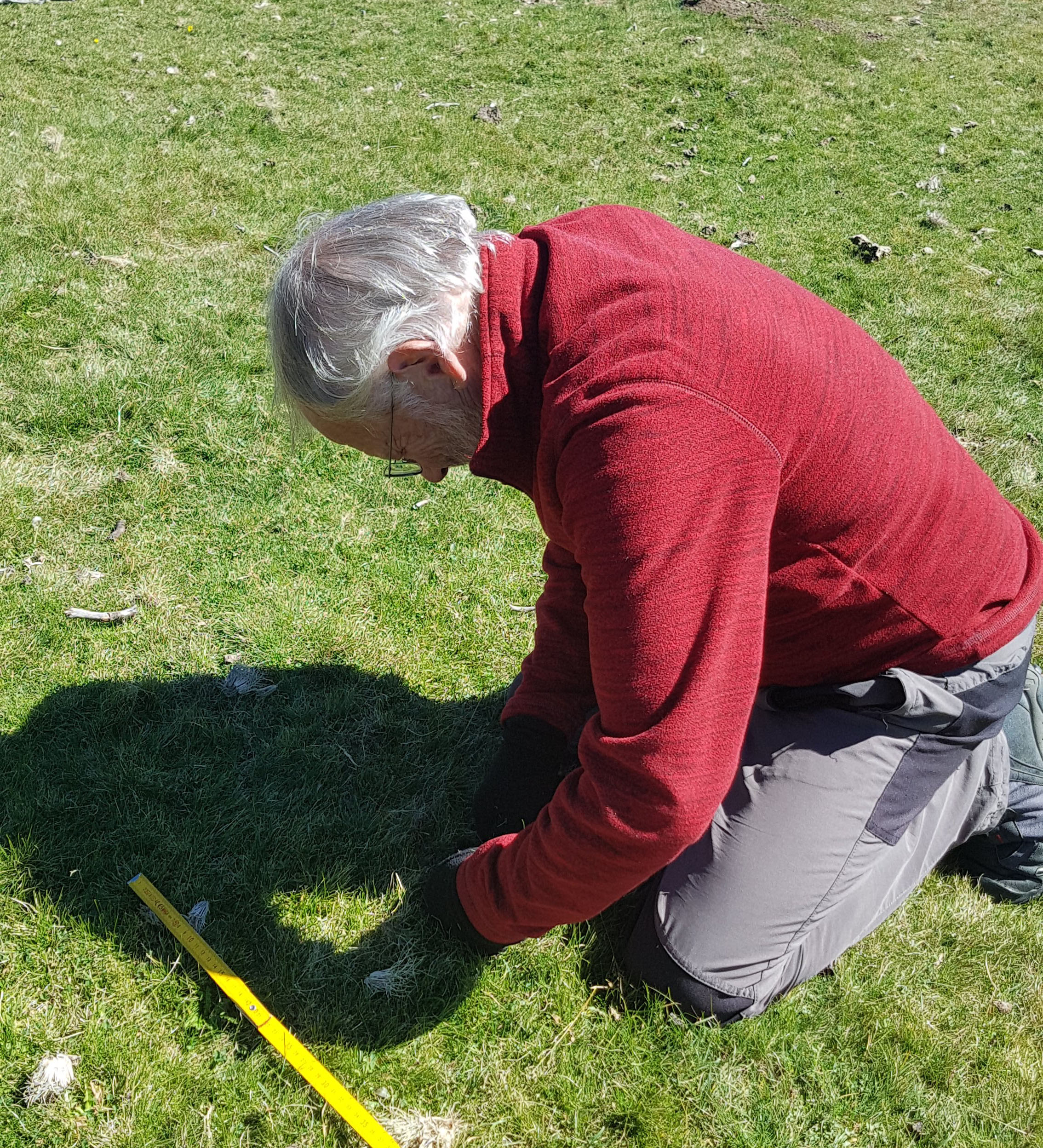
Calastrenc Jean-Pierre Volunteer |